Feb 26, 2016 / Haseeb Jamal -

5 Travel Myths You Need to Stop Believing Right Now

Feb 26, 2016 / Haseeb Jamal -

Canal Comes Alive with Lighted Boat Parade.

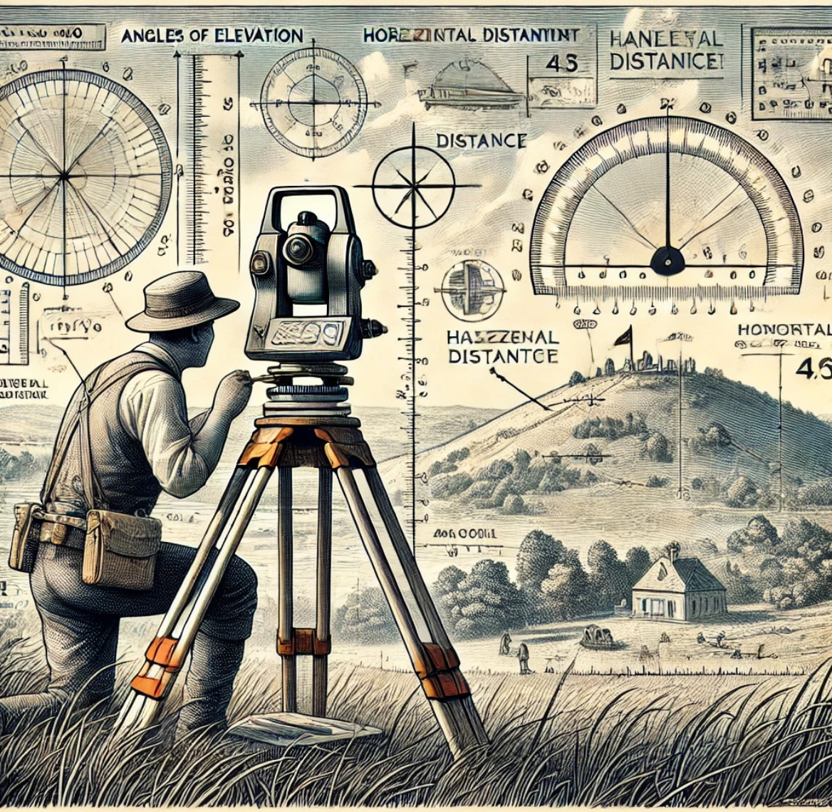
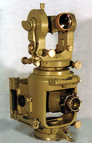
How to do Triangulation Survey

Author: Haseeb Jamal / Date: Mar 30, 2017 / Tags: How To, Notes
The line of sight should not be near the surface of ground at pt of tangency on account of strata of disturbed air and should be kept at least 2m (61) above the ground preferably 3m (1D) and this allowance (clearance) should be made in deterring the heights of stations. If the peaks in the intervening ground are likely to obstruct, the line of sight, their elevations and

How to do Trigonometric Surveying

Author: Haseeb Jamal / Date: Mar 30, 2017 / Tags: Notes, How To, Definition
Geodetic or trigonometrically surveying takes into account the curvature of earth Since very extensive areas and very large distances are involved. In geodetic surveying highly refined instruments and methods are used. Geodetic work is undertaken by the state agency e.g. survey of Pakistan undertaken by the state agency. The object of geodetic surveying is to

What is Phototheodolite - Working Principle, Components & Applications

Author: Haseeb Jamal / Date: Mar 30, 2017 / Tags: Notes, Surveying Equipment
A photo theodolite is a form of ground camera. It is a combination of camera and theodolite ans is used of taking photographic and measuring the angles which the rival plane of collimation makes with base line. The optical axis of the camera is arrange parallel to the line of collimation of the chocolate telescope and the theologize allows The determination of the orientation

Search AboutCivil