Classification and Types of Civil Engineering Survey

Primary Division of Survey
- Geodetic Surveying
- Plane surveying
Geodetic or Trigonometrical Surveying:
- When the radius of curvature of earth is taken in to account.
- Large area and large distances are covered.
- Object of geodetic survey is to determine precise positions on the surface of earth.
- Refined Instruments and Methods are used.
- Conducted by Government agencies.
Plane Surveying:
- When radius of curvature of the earth is not taken into account.
- Small area and small distances are covered
- Degree of accuracy is comparatively low.
- American survey put 250 km2 for treating survey as Plane, but controlling factor should be degree of precision rather than extent of area.
Classification of Survey
Based upon Nature of field
- Land Survey
- Marine Survey
- Astronomical Survey
Based upon Object of Survey
- Geological Survey(Object is to survey different strata in the earth crust)
- Mine Survey (Mineral wealth such as coal, gold)
- Military Survey(Points of strategic importance)
Based upon Method Employed
- Triangulation
- Traversing
Based upon Instrument Used
- Surveying by Total Station
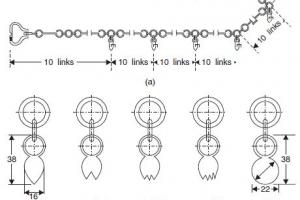
- Chain Survey
- Theodolite Survey
- Compass Survey
- Plane Tabling
- Photographic and Aerial Surveys
Land Survey can be further divided into:
1. Topographical Survey
Determine natural features of a country such as hills, valleys, lakes woods etc. and also arterial features such as roads, buildings, canals, towns etc.
2. Cadastral Survey
Details such boundaries of houses, town, fields and other properties pathways are determined.
- City Survey
- Engineering Survey
Engineering Survey
Engineering Survey can be further divided into:
- Reconnaissance (To determine the feasibility and rough cost of the scheme)
- Preliminary Survey (For collecting more precise data)
- Location Survey(For setting out the work on the ground)


